Distance between Points

images/download/attachments/113547050/CmdMeasureDistanceBetweenPoints.svg

This command allows to measure the distance between two points. You will have to click two consecutive points in order to generate a label containing distance information.

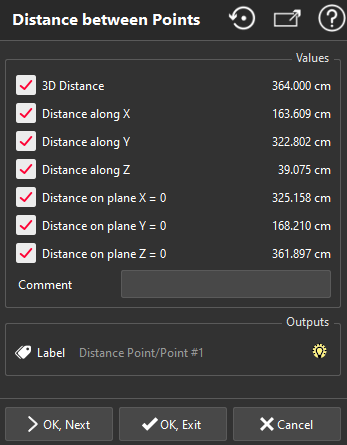
images/download/attachments/113547050/distance_point_point.png

  • Type your comment in the Comment if needed.

  • This command allows you to choose what type of distance information you want to display in your label. Check the information you need:

    • Distance on plane X = 0 corresponds to the distance between the two points projected on the plane YZ.

    • Distance on plane Y = 0 corresponds to the distance between the two points projected on the plane XZ.

    • Distance on plane Z = 0 corresponds to the distance between the two points projected on the plane XY.

The distances are expressed in the local coordinate system.